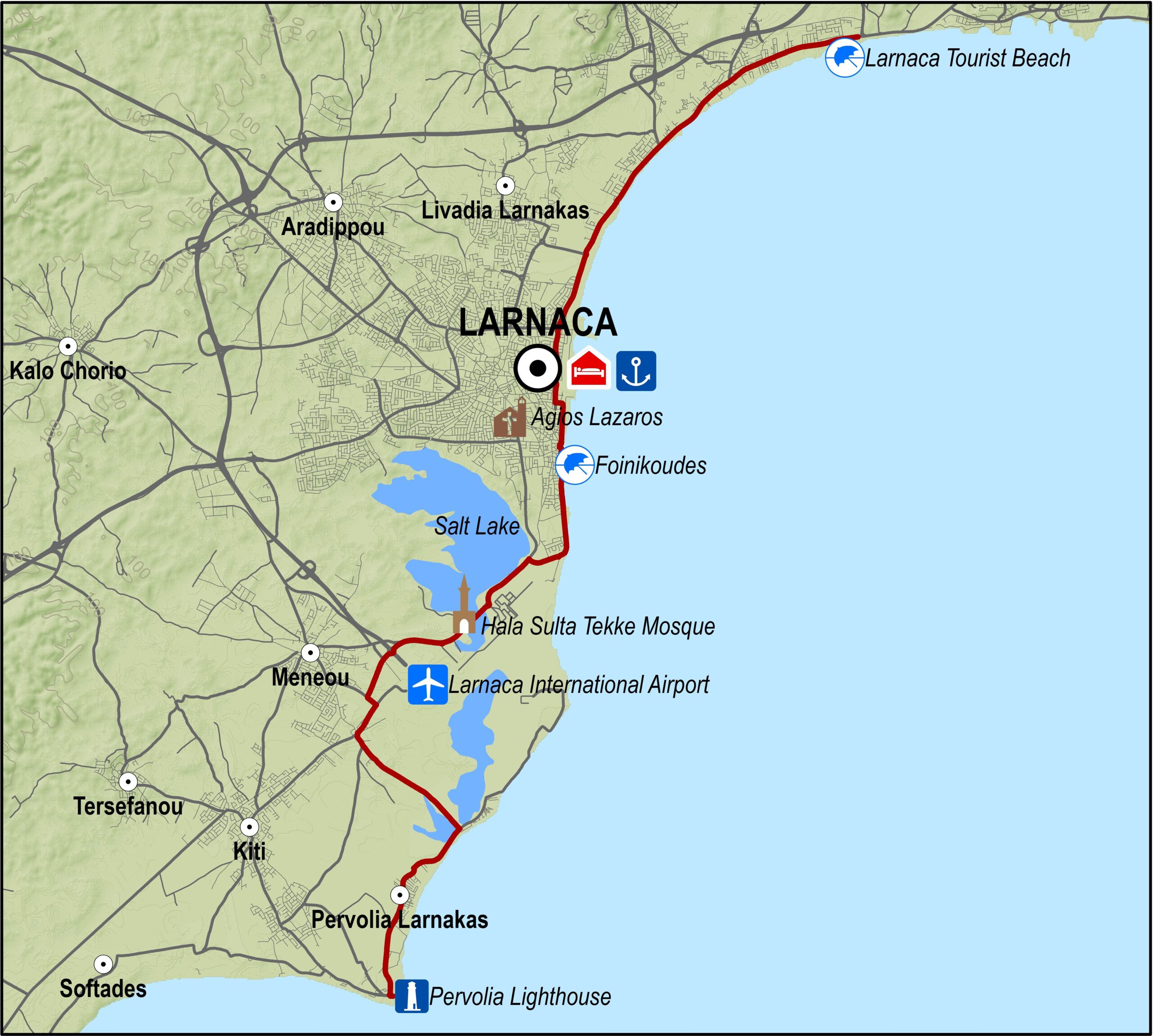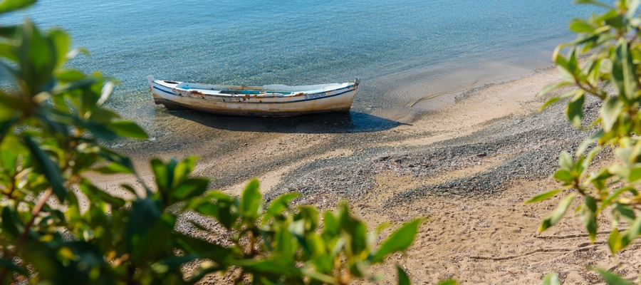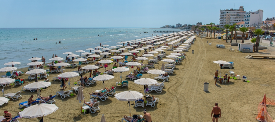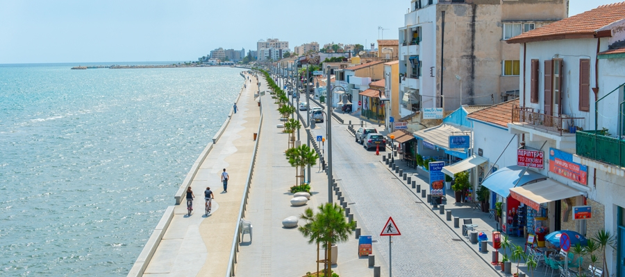
The route begins from the Larnaka Tourist Beach and heads south to the Larnaka port roundabout along the bicycle path on the left hand side of the road. It continues straight, goes along Athinon avenue (Finikoudes Promenade), past Larnaka castle and Mackenzie beach, and turns west to get onto the Larnaka airport road turning left at the traffic lights. The route goes past the old airport roundabout and shortly afterwards turns right to the Hala Sultan Tekke Mosque. Here there is a restaurant and a picnic site in the nearby wood. Going straight on leads to Meneou.
Difficulty rate: An easy route, ideal for all bicycles.
Road condition: Good quality paved roads throughout.
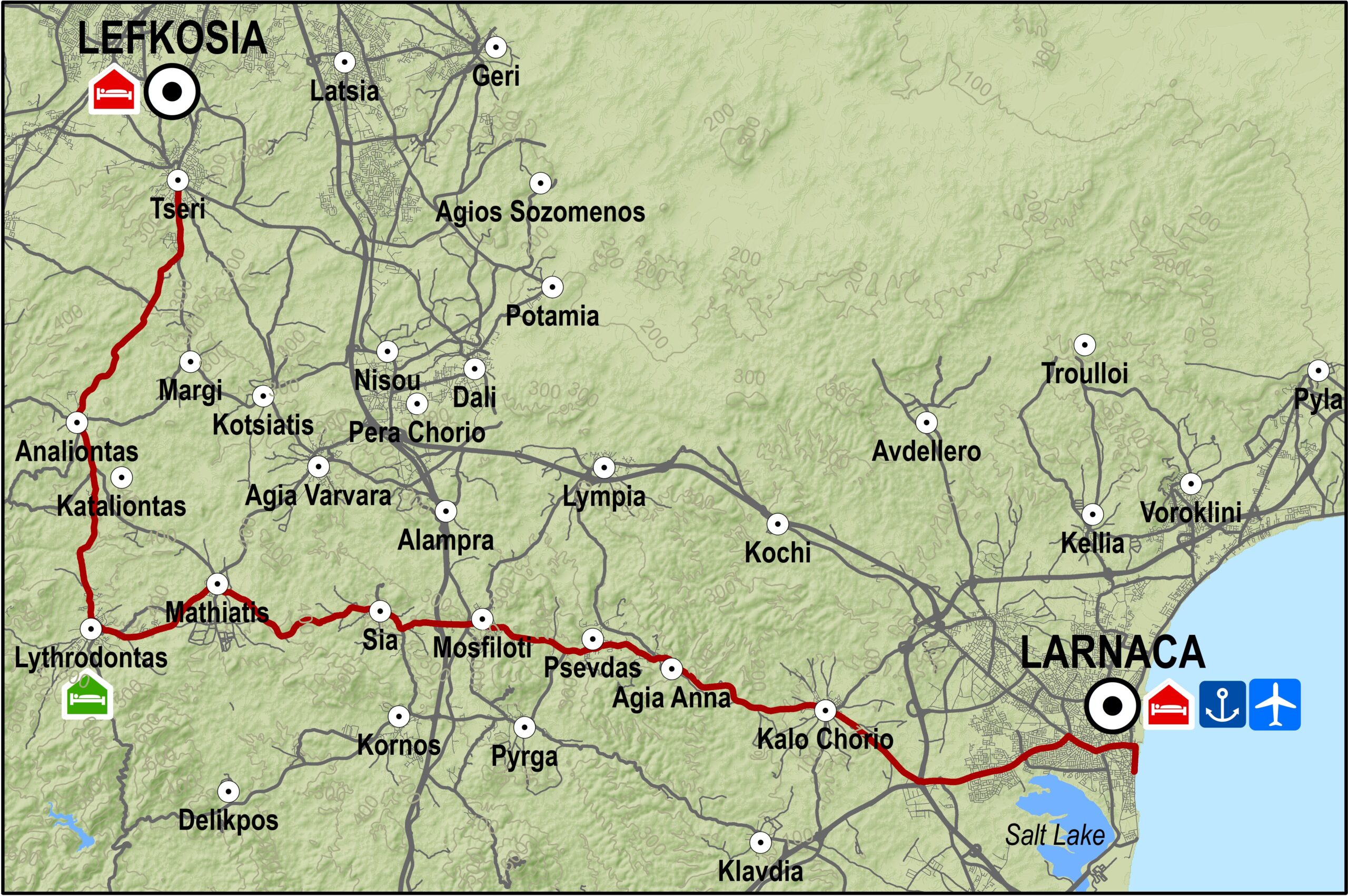
Route Description: This excursion is a cycling tour of Larnaka.
Alternative route: To make the trip slightly longer, take the road from Meneou to the coast heading southeast, get on the main coastal road that goes past the Kiti Medieval Tower. Then turn right heading northwest through the villages of Pervolia and Kiti and back to Meneou.
To download the route in gpx format click here
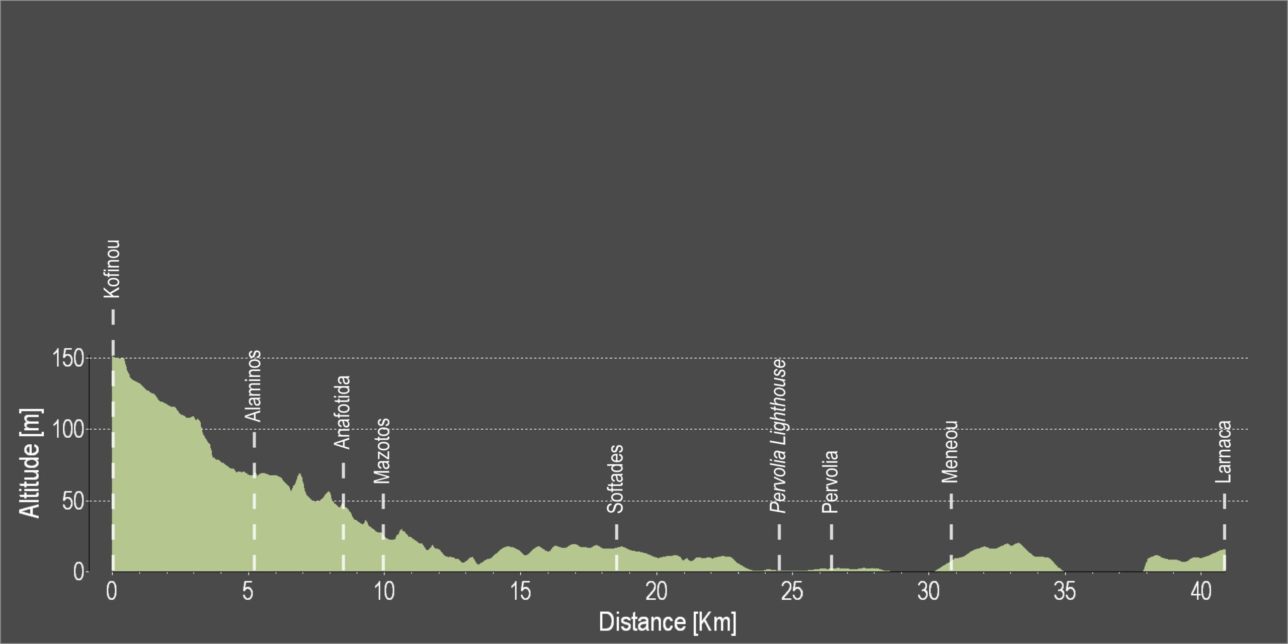
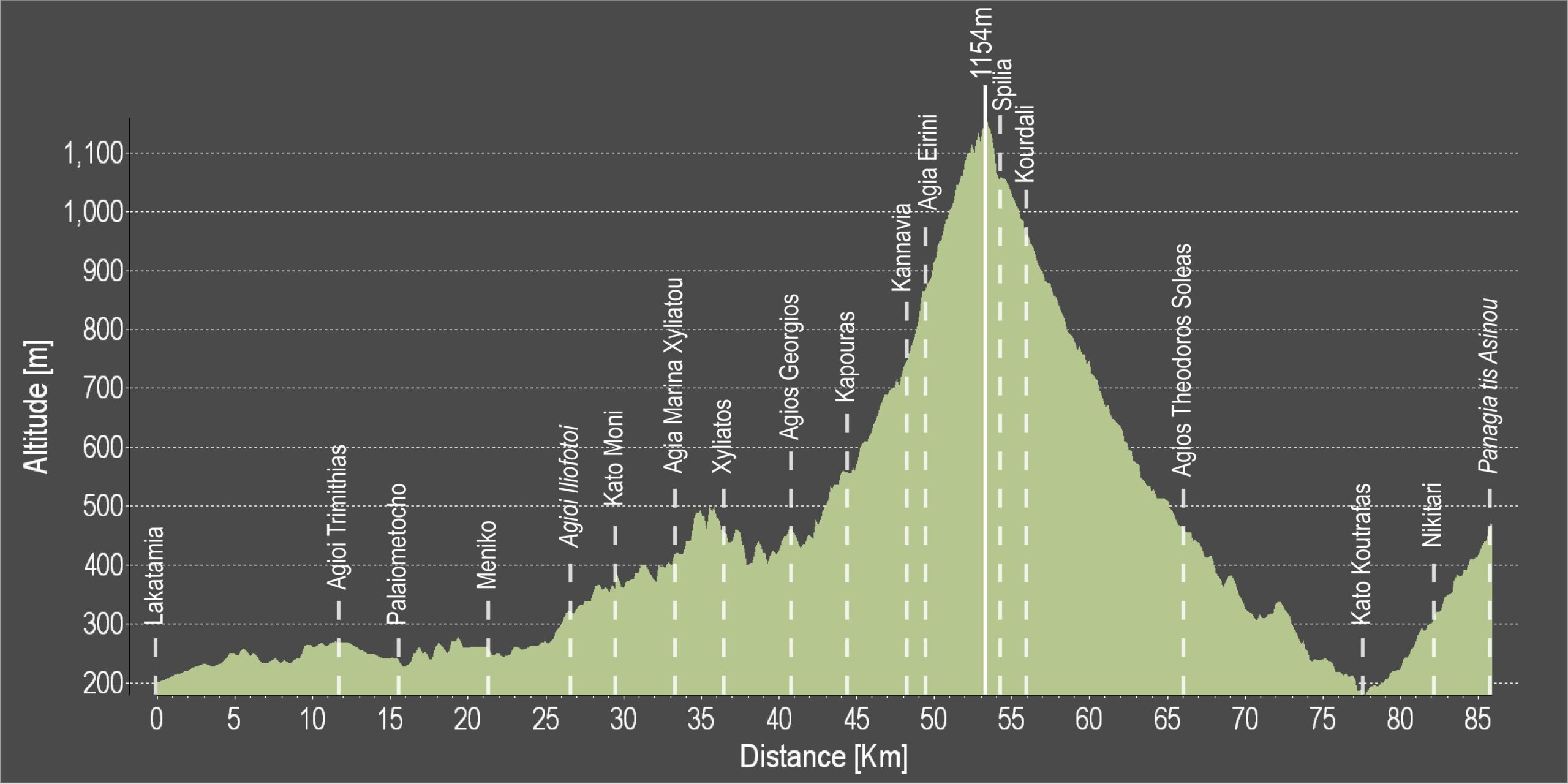
| Distance: | 25.4km |
| Elevation Gain: | 36m |
| Highest point: | 21m |
| Lowest point: | 2m |
| Loop: | NO |
| Terrain: | Flat |
| Road surface: | Paved |
| Section Distance (km) | Total Distance (km) | |
| Larnaka Tourist Beach | 0,0 | 0,0 |
| Larnaka | 9,3 | 9,3 |
| Foinikoudes | 1,4 | 10,7 |
| Hala Sulta Tekke Mosque | 4,7 | 15,4 |
| Meneou | 3,6 | 19,0 |
| Pervolia | 4,4 | 23,4 |
| Pervolia Lighthouse | 2,0 | 25,4 |