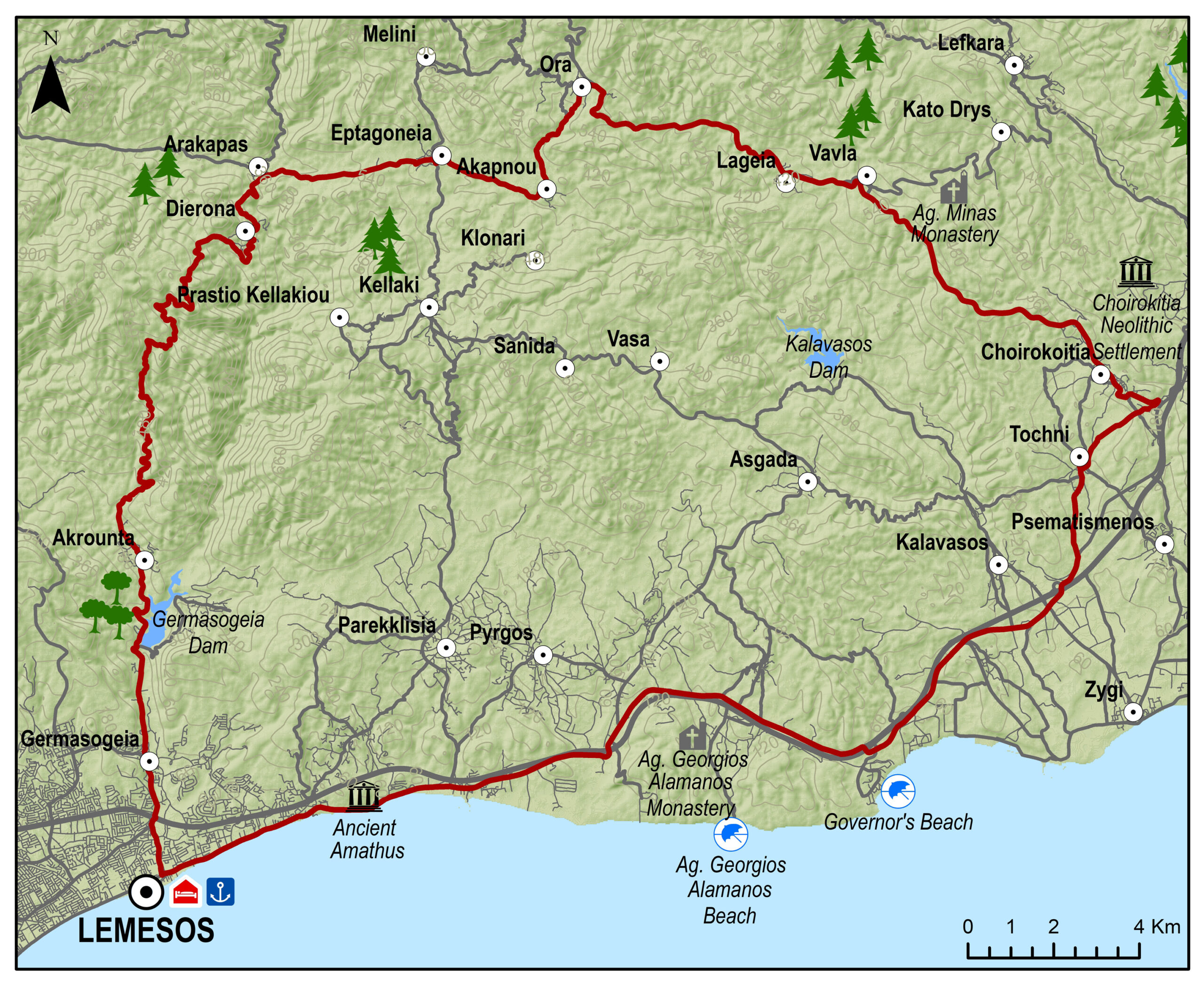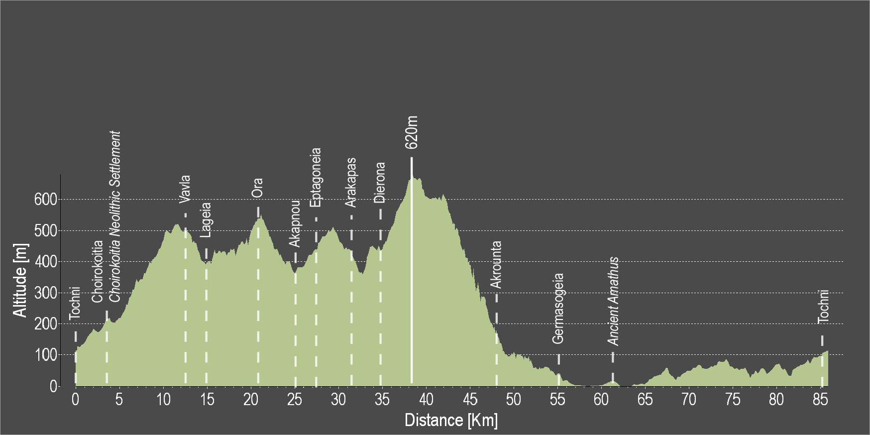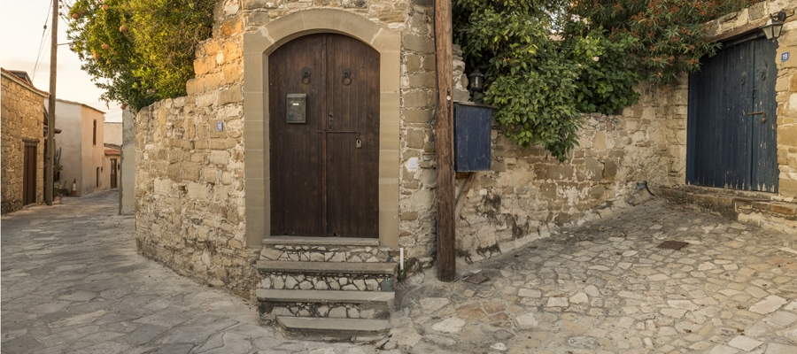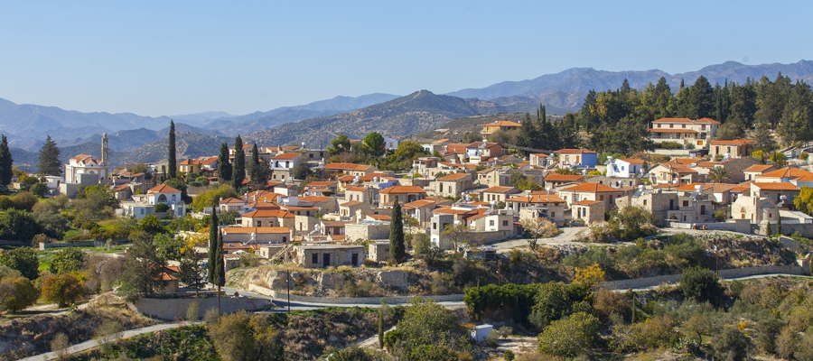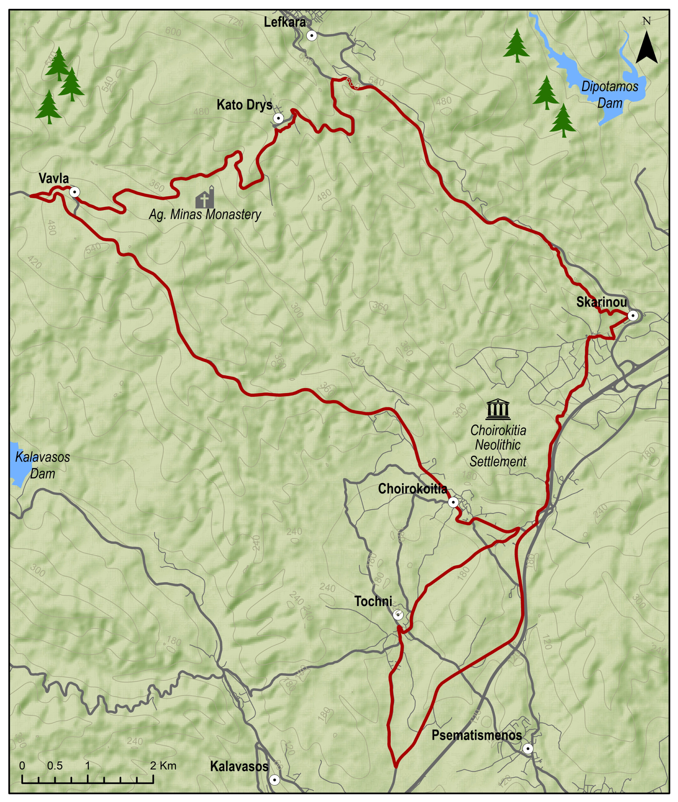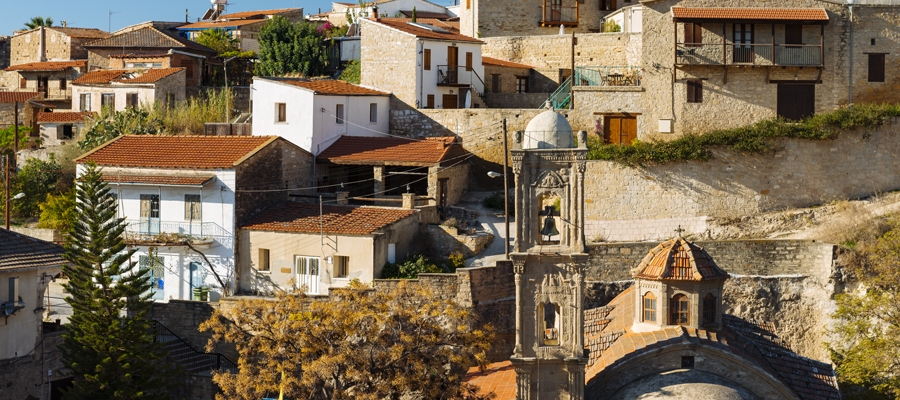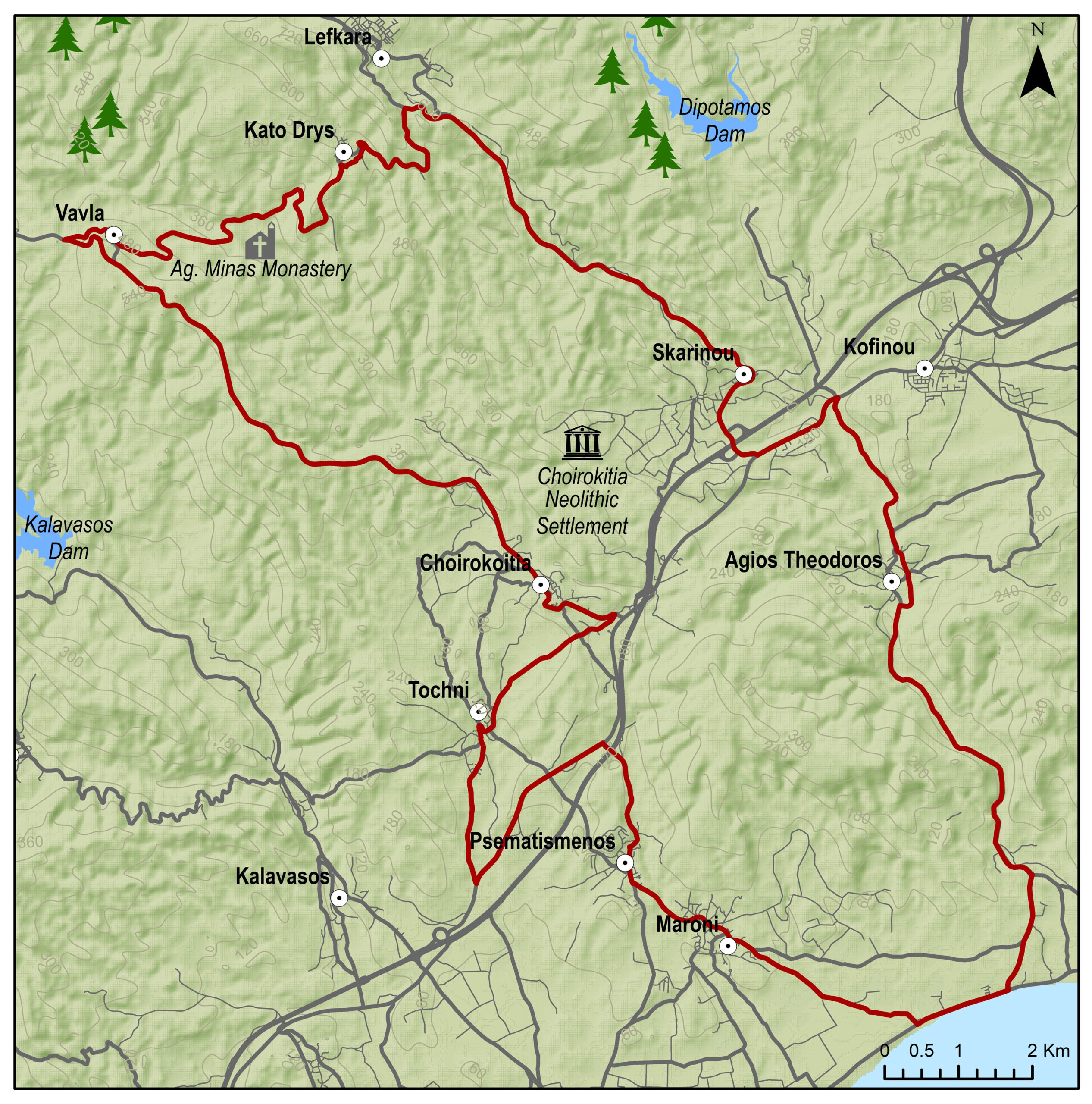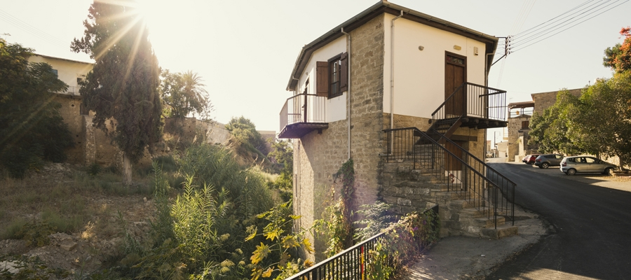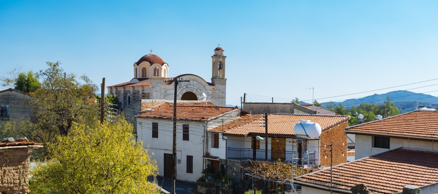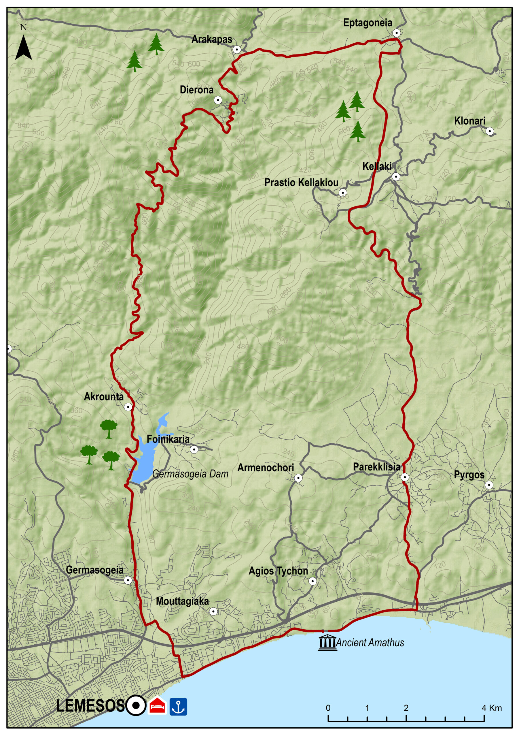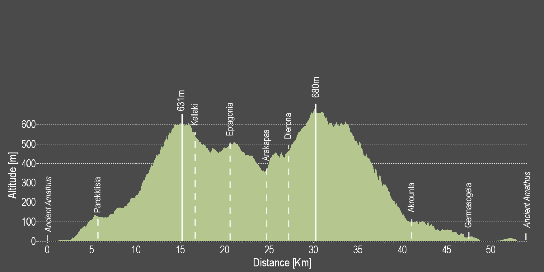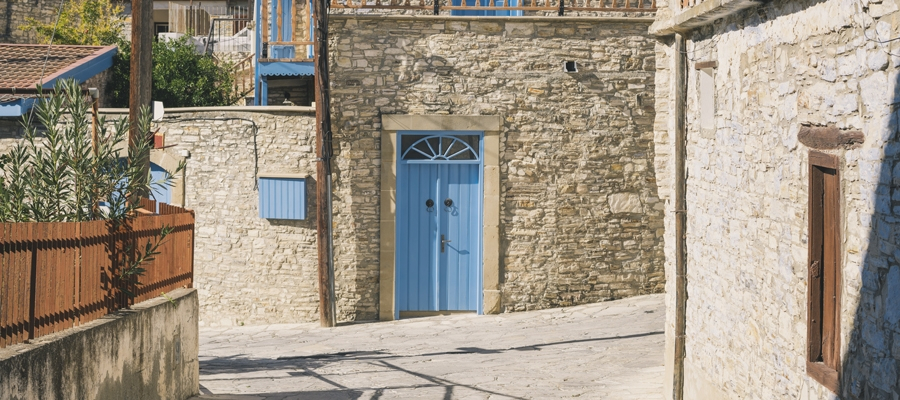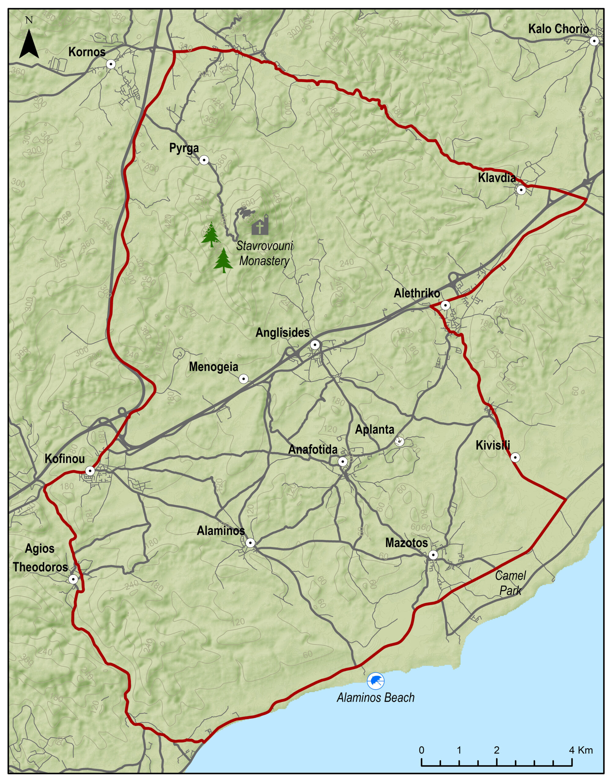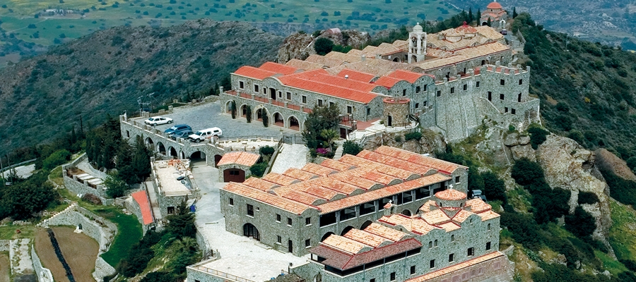
The route starts in beautiful Tochni and heads to Choirokoitia where the Neolithic Settlement of Choirokoitia is located, which has been registered as a UNESCO World Heritage Site since 1998. Next, continue uphill to Vavla, a designated heritage village due to its white stone houses and its traditional features. Head downward to Lageia where then the route goes uphill again towards the village of Ora. The villages of the mountainous part of Lemesos follow, particularly Akapnou, Eptagoneia, Arakapas, Dierona and Akrounta and then the route leads to Germasogeia, an urban area of Lemesos. The route then passes through the archaeological site of Amathous, one of the most important ancient cities-kingdoms of Cyprus. The route continues along the coast and then ascends and ends back in the village of Tochni.
To download the route in gpx format click here
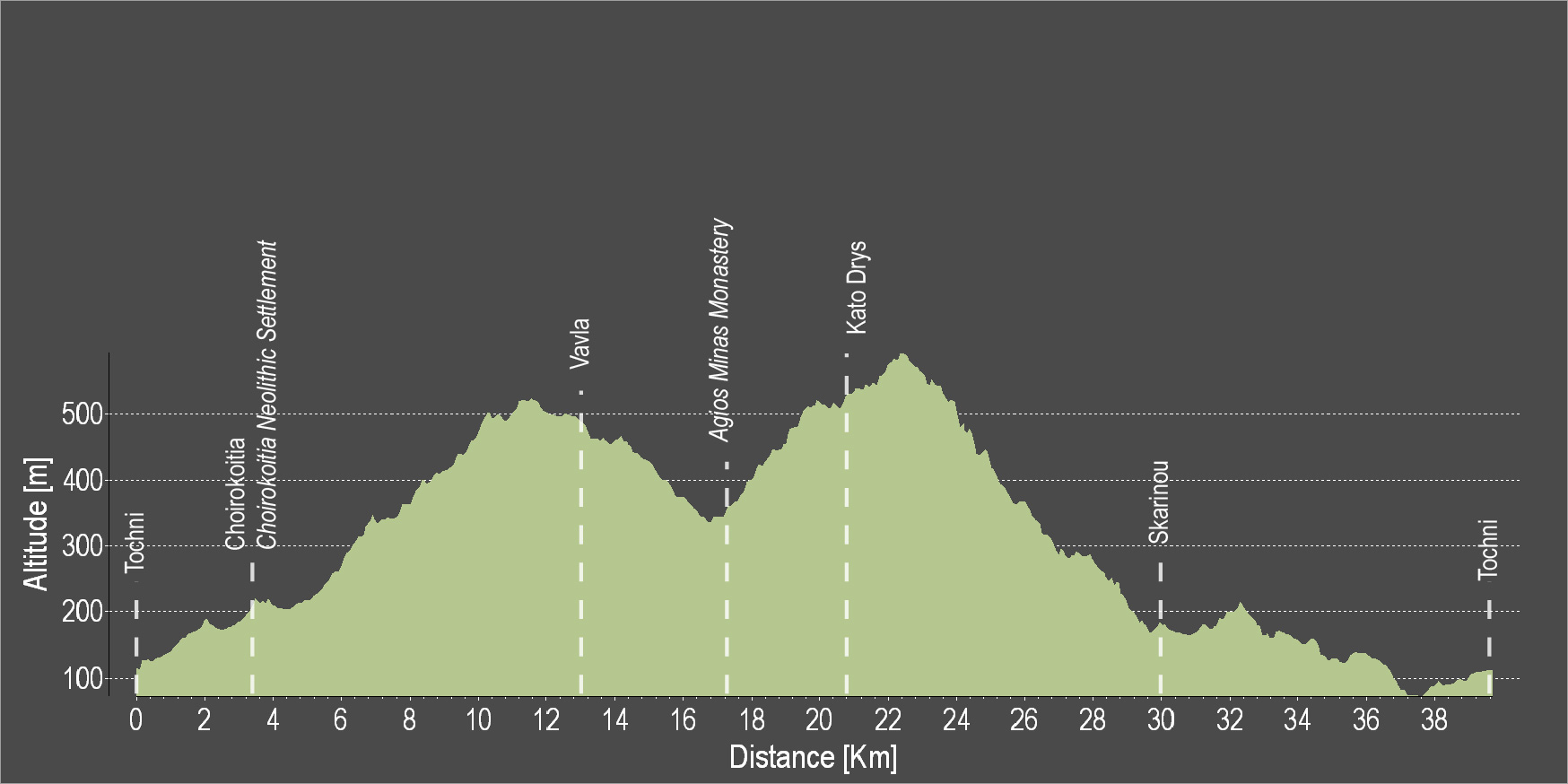
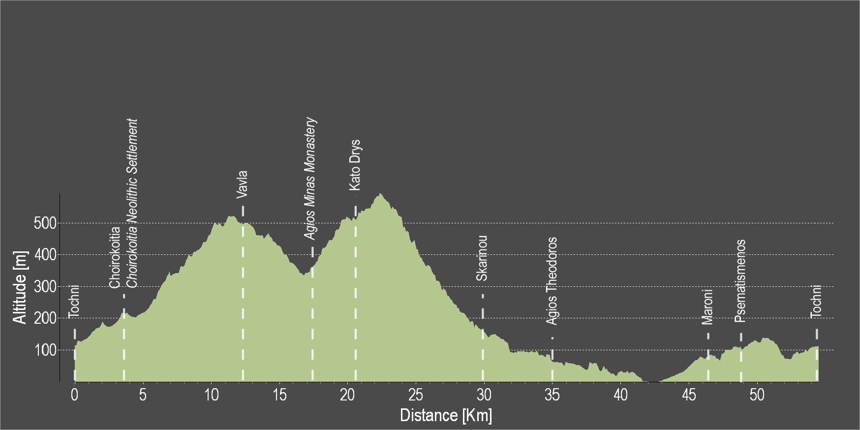
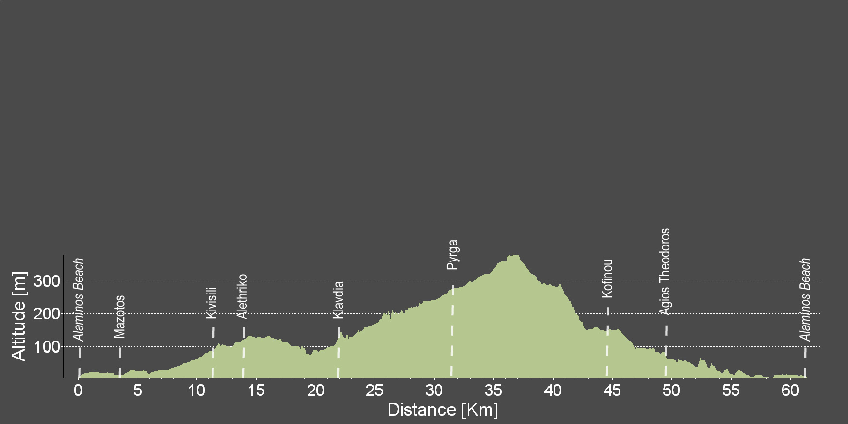
| Distance: | 83.8km |
| Elevation Gain: | 1394m |
| Highest point: | 688m |
| Lowest point: | 1m |
| Loop: | YES |
| Terrain: | Mountain |
| Road surface: | Paved |
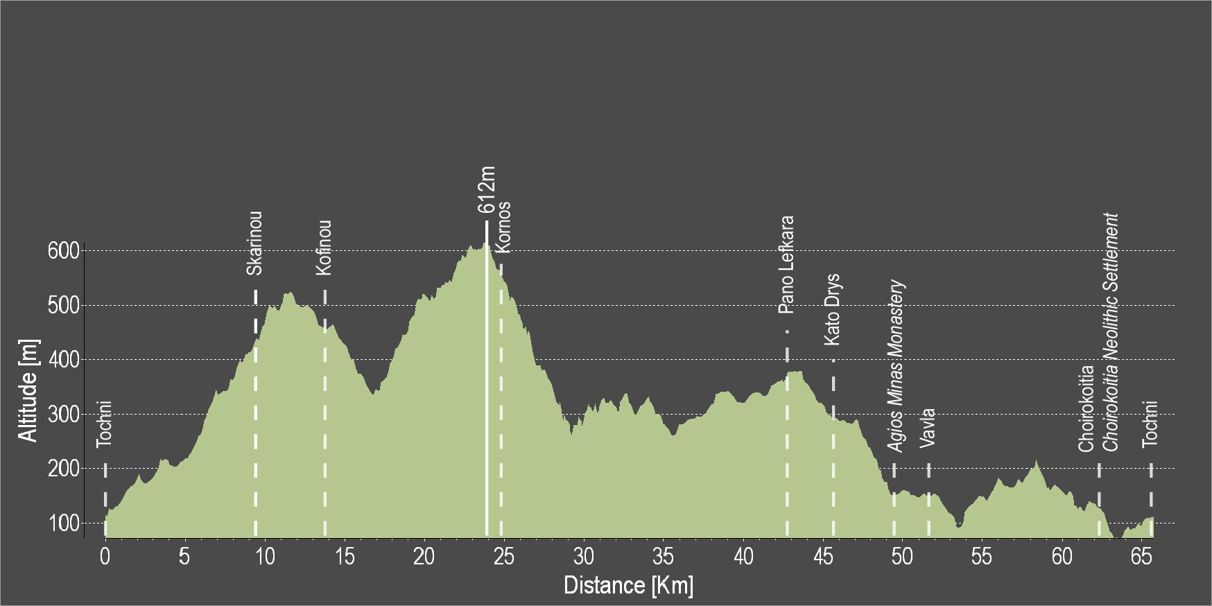
| Section Distance (km) | Total Distance (km) | |
| Tochni | 0.0 | 0.0 |
| Choirokoitia | 3.8 | 3.8 |
| Choirokoitia Neolithic Settlement | 0.0 | 3.8 |
| Vavla | 8.8 | 12.6 |
| Lageia | 2.1 | 14.7 |
| Ora | 6.7 | 21.4 |
| Akapnou | 2.9 | 24.3 |
| Eptagoneia | 3.2 | 27.5 |
| Arakapas | 4.4 | 31.9 |
| Dierona | 2.5 | 34.4 |
| Akrounta | 13.6 | 48.0 |
| Germasogeia | 6.7 | 54.7 |
| Ancient Amathus | 5.9 | 60.6 |
| Tochni | 23.2 | 83.8 |