Palaichori village

Located in the Troodos mountain range in the Pitsilia region of the Lefkosia (Nicosia) district, the village of Palaichori is just 40 km from Lefkosia and can be reached by following the E903 route, then the F915.

The tranquil village is separated in two by the Serrache River, which springs from the Papoutsa mountain, and offers accommodation in beautiful, traditional houses.

The village is home to vineyards, nut and fruit trees, and produces the spirit Zivania in the traditional way. The spirit also plays a role in important village traditions, such as sharing it with friends in the church courtyard on name days.

A number of old and interesting churches, including significant Byzantine churches are worth a visit, whilst other sights include the village square, a museum exhibiting Byzantine Heritage, the restored hideout of the Gregoris Afxentiou, and the statue of the Cypriot Mother.

Fishing enthusiasts will enjoy partaking in the leisurely hobby at Palaichori Dam, which is constructed on the river of Kampiou.

Lemythou village

Located in the Troodos mountain range, in the Marathasa Valley of the Lemesos (Limassol) district, the village of Lemythou sits at an altitude of 1.100 metres. It is 65 km from Lemesos and can be reached by following the B8 route, then the E802, and finally the F804.

Lemythou is one of the highest villages on the island, and is built in the shape of an amphitheatre, amidst leafy, natural surroundings. As such, it is perfect for agrotourism in its tranquil environs.

The village has existed since at least Frankish times, and was included among the royal estates. Its name is either derived from the ‘Lemithi’ bush grass that grows there, or the village’s first settler, called Lemithes, whose long, thin beard resembled the plant.

Its pretty surroundings are perfect for walking and cycling, whilst there is a ski centre just 8km from the village for the snowy winters.

Kyperounta village

Located in the Troodos mountain range, in Pitsilia region of  Lemesos (Limassol) district, the village of Kyperounta sits at an altitude of approximately 1.300 metres.

This leafy village is the third highest on the island and maintains its traditional character. Its distinctive features of uphill roads, grapevines, small yards and houses with tiled roofs and picturesque lofts add to its natural charm.

The village was established during Byzantine times and takes its name from the weed ‘kypros’ or ‘kyperi’, which grows abundantly in the area.

Amongst its attractions are the village’s church dedicated to Agia Marina – which dates back to the 18th century – as well as the new and imposing church of Agios Arsenios and its three museums of Natural History, Folk Art and the National Liberation Struggle.

Other interesting places to visit are the Kyperounta Winery and the Adventure mountain Park, whilst there are also two lovely nature trails to stroll through; ‘Doksa soi o Theos’, and ‘Teisia tis Madaris’.

Kalopanagiotis village

Kalopanagiotis is located in the Troodos mountain range, in Marathasa Valley area of Lefkosia (Nicosia) district.

Kalopanagiotis is one of the most beautiful resorts on the island with its sulphur springs, traditional architecture and panoramic valley views, and is ideal for agrotourism due its peaceful surroundings.

The Monastery of Agios Ioannis Lampadistis at Kalopanagiotis, is on the UNESCO World Heritage Site list, and features three Byzantine churches with well-preserved frescos dating back to the 9th and up to the 15th century.

Other interesting sights include the Venetian bridge and the Kykko watermill. The 16th century bridge was constructed from local stone and until recently served as the only access between the village and the monastery. The watermill has been declared a ‘cultural heritage monument’ by the Cyprus Department of Antiquities and is an imposing site, characteristic of the pre-industrial architectural period.

Kalopanagiotis’ charm with its old chapels and churches, the quaint, cobbled streets and footpaths that lead to beautiful nature trails should not be missed.

Kakopetria village

Kakopetria is located in the Troodos mountain range, in Solea Valley of Lefkosia (Nicosia) region.

This beautiful village is a popular summer resort, thanks to its charming character and breathtaking scenery of pine forests that stretch across the Karkotis Valley. As such, it is ideal for agrotourism.

The old quarter of the village – with its narrow, stone-paved alleysand its traditional houses with their wooden balconies have been restored – has been declared a protected cultural heritage site.

The Church of the Transfiguration of our Saviour (Metamorfosis tou Sotiros), which is built in the centre of the old village centre is worth visiting, whilst the church of Agios Nikolaos tis Stegis (St. Nicholas of the Roof) which is considered one of the most interesting Byzantine churches on the island, thanks to its painted murals that date from the 11th to the 17th century, is located 5 km from the village.

The village also has several other interesting sights, including the Linos Musuem and Olive Mill museum. The watermill ‘Mylos tis Gonias’ used to grind barley and grain from 1754. It closed down after the Second World War, and was restored in 1980.

Askas village

Located in the Troodos mountain range, in the picturesque Pitsilia area of the Lefkosia (Nicosia) district, the village of Askas sits at an altitude of 900 metres above sea level. It can be reached from Lefkosia by following the E902 route, then the E903, and finally the F915.

Askas is breathtaking with its steep mountains, deep valleys and the passing waters of the Askas River and other streams. It offers agrotourism in beautiful, traditional accommodation, amidst tranquil surroundings.

The wine-producing village takes its name after the rich landowner Manolis Askas, who lived there in 1462, and is known for its production of the strong spirit Zivania.

The traditional character of narrow, winding alleys, towering stone-built walls and hand-baked roof tiles has been retained. The village also has several old, interesting churches, including the Medieval church of St. John the Baptist (16th century) and the Holy Cross Church.

Polis Chrysochous village

Located in the Pafos (Paphos) region, Polis Chrysochous (known simply as ‘Polis’) is a thriving sub-district that has expanded to become a popular tourist destination in its own right and ranks amongst the most naturally beautiful areas of the island. Just 35 km northwest of the town of Pafos, it can be reached by following the B07 route, or by taking the E701 coastal route, and then the E709.

The area’s rich history dates back to the time it used to constitute the ancient kingdoms of Marion and Arsinoe. Marion flourished during Classical times, whilst Arsinoe prospered in Roman times. Lengthy and meticulous archaeological excavations spanning over 20 years have brought to light many archaeological treasures that are now exhibited at the local Archaeological Museum.

The interesting sights of the area include the Baths of Aphrodite – a fresh water grotto shaded by a wild fig tree – where legend tells the Ancient Greek Goddess of Love and Beauty would bathe. There are also a variety of nature trails that take in rare, endemic plants and where nature lovers can spot local fauna and migrating birds.

Also noteworthy is the church of Agios Andronikos with its 16th century frescoes. The church was converted into a mosque from 1571 by the Ottomans, who also covered the frescoes up with plaster additions. After 1974, the Antiquities Department painstakingly uncovered the wall paintings in a delicate and time consuming process, and restored them to their former glory for visitors to admire once more.

With its unrivalled natural beauty, Polis Chrysochous is also a favourite spot for camping, and its campsite is located in a fragrant eucalyptus forest that borders a Blue Flag pebble beach. The campsite and beach also herald the start of a picturesque coastal walkway that leads to Latchi Harbour, which is known locally for its wonderful fresh fish, served at the surrounding restaurants. 

Panagia village

Located in the Pafos (Paphos) region, some 33 km northeast of Pafos town, the beautiful village of Panagia offers agrotourism in its natural environs, with its largest part located within Pafos Forest, at an altitude of 850 metres above sea level. It can be reached by following the A6 from the town of Pafos, and then the E606.

The village’s name comes from Panagia (the Virgin Mary), to whom the neighbouring monastery of Panagia Chrysorrogiatissa is also dedicated. One theory believes that under Frankish rule, Panagia village was a fief called ‘Casal Nostra Donna’ (of the Virgin Mary). The monastery houses an interesting Icons and Utensil Treasury, whilst a large religious festival is held annually on August 14 in honour of the Virgin Mary.

The village is also famous for being the birthplace of the Republic’s first president – Archbishop Makarios III – with two museums dedicated to the late Archbishop; the family home of the Archbishop, and the Museum of Cultural Foundation Archbishop Makarios III.

Other interesting sights include the various local wineries, the monastery of Agia Moni and the Vouni Panagias Nature Trail, which begins at the town square, and takes three hours to complete. Visitors can also enjoy the festival ‘Ta Rogiatika’, which takes place annually on August 15, and includes a programme of music and dance.

The main crops of the village include grapevines, various fruit trees, pulses, almond and olive trees, amongst others.

Lysos village

Located in the Pafos (Paphos) region, at an average altitude of 560 metres, the village of Lysos has existed since Medieval times with legends of the Medieval hero Digenis still told in the area. The village is located about 36 km northeast of Pafos, and can be reached by following the B07 route and then the E723.

The name of the village is believed to have its origins in the ancient Greek settlements in Asia Minor that settlers had brought to Cyprus, and an archaeological site in the area has unearthed tombs chiseled out of rock and geometrical vessels that further cement this theory.

The village is the largest in the Pafos region, with its territory extending to the peak of Pafos Forest where the rare bird of prey – Bonelli’s eagle – can be spotted, along with the shy and rare Mouflon – an endemic species of wild sheep found exclusively on the island.

Sights of interest in the village include its series of old churches, including the main church dedicated to Panagia Chryseleousa – constructed around the end of the 15th century or the beginning of the 16th century. The church is believed to have originally been a Latin temple since its two doors are decorated with blazons.

The village is also known locally for its unique, traditional delicacy of ‘Maxilles’ – a type of dry fig that is consumed as a sweetener, or eaten with almonds or walnuts.

Kouklia village

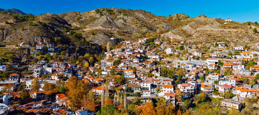
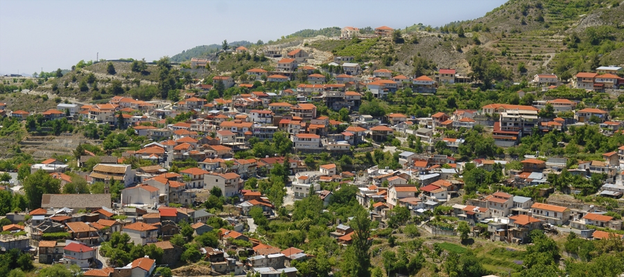
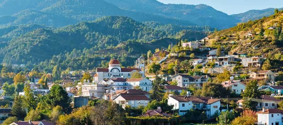
Located in the Pafos (Paphos) region, the village of Kouklia is built at an altitude of 85 metres above sea level. Just 16 km away from the town of Pafos, Kouklia can be reached by turning into the F616 route either from the B06 or from the A06 route; the central highway of Lemesos (Limassol) – Pafos.

The village sits on the site where the ancient kingdom of Palaipafos (old Pafos) once stood. Palaipafos was one of the most celebrated pilgrimage centres of the ancient Greek world; the Sanctuary of Pafia Aphrodite. Excavations at the village have unearthed the famous Sanctuary of Pafia Aphrodite, ruins of the fortifications of Palaipafos, the barrow cemetery, and many tombs. Several ancient findings of the region are kept in the local village museum.

Not far from the village, the imposing rock known as ‘Petra tou Romiou’ or Aphrodite’s Rock juts out from the sea and marks the spot where – according to legend – the Ancient Greek Goddess of Love and Beauty was born out of the foam.

Kouklia’s importance was also marked during the Middle Ages as the Lusignans founded and operated a sugar production centre in the area. As one of just three Medieval sugar cane mills on the island, the site at Kouklia is of the most important, as it is one of the few in the Mediterranean – and in the Near East – that has retained all its important functional elements, thus allowing researchers and archaeologists to study the surviving structure in depth, and gain an understanding on how Levantine cane sugar refineries worked.

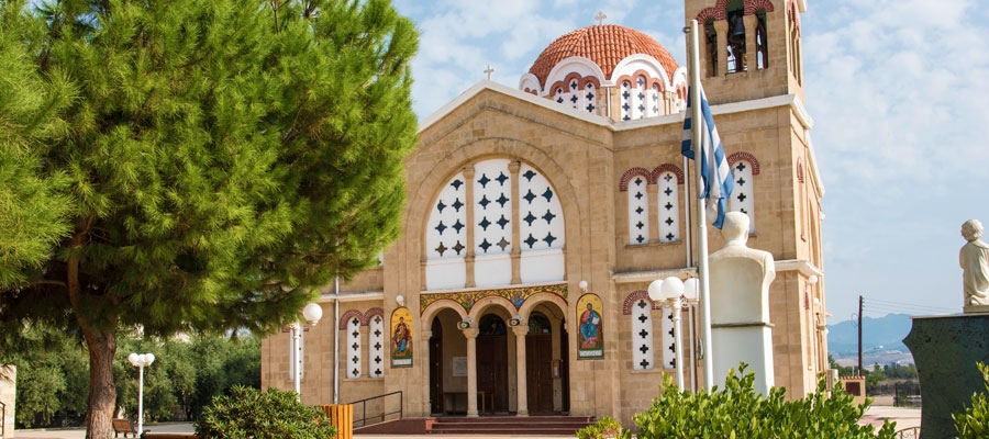
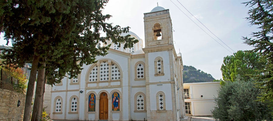
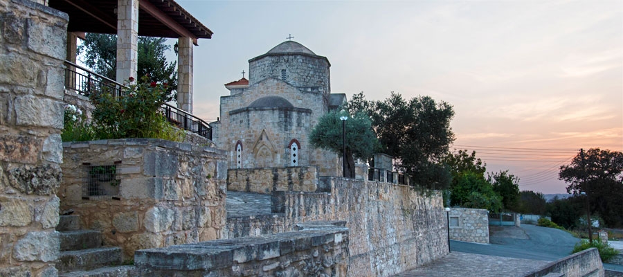
Amongst its churches, the most important are the ones dedicated to Panagia (Virgin Mary) Hodegetria and to the Apostle and Evangelist Luke. The former is a cruciform-type church of the 13th century with wall-paintings dating back to the 15th century. The latter is the main church of the village, and is especially worth visiting on October 17, when a large religious fair is held annually in honour of the saint.

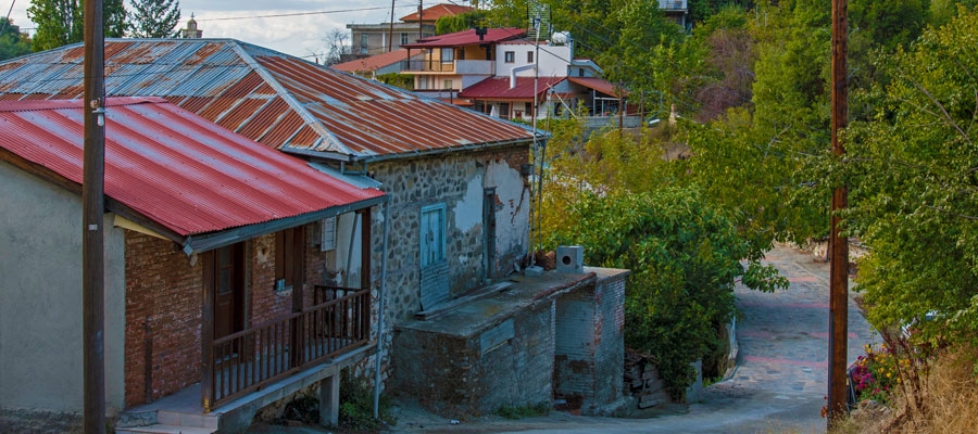
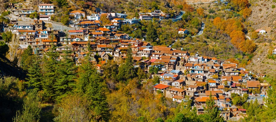
The name of the village is believed to originate from the word ‘kouvouklio’ meaning ‘cubicle’ from the Byzantine officials who guarded the emperor’s chambers, and aside from its ancient monuments, it is picturesque and leafy, growing various fruits and other crops.